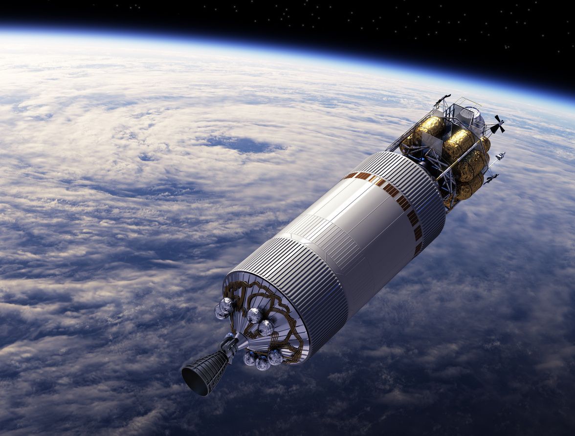
Satellites Initiatives. A STEM education and outreach project has been launched to create attract youth to the technologies and projects initiated by NASA and other nations for Earth Observation. A series of project deliverables are targeted for release in 2018/2019.
Israel Planeta. Coordination activities are ongoing with the nascent Planeta project headquartered in Tel Aviv, Israel. This project is developing a comprehensive visualization imitative that targets the public and educational institutions to upgrade engagement on technology, geography and history of the region.
Transition Howard County
ICRSED has invested in the continued development of this initiative for exploring and engaging on sustainability issues at the local level. Activities have included training with the national Transition organization and visiting the Northern California headquarters to fully appreciate the trajectory of the national and international Transition movement. Local activities have been completed in support of THC including coordination and outreach for the programs. Participation and representation has continued at Repair Café and other outreach events.
Global Migrations
ICRSED is relocating the Headquarters to USA and announced a new Asia-Pacific satellite office in Brisbane,Australia. Dr John Hayes principal for the Brisbane office.
On the Shoulders
Our organization has the great honor to be a founding member of the International Society for Digital Earth (ISDE) and to continue to participate in the Digital Earth Vision.
This vision still stands above myriad international declarations, proclamations, treaties and futurists’ projections as a stellar target for human collaboration with our technological toys towards as sustainable and prosperous tomorrow.
At the 10th anniversary of ISDE hosted in Beijing, Tim Foresman presented a keynote talk on how the Society should focus our collective efforts for the coming decades.
It is our thesis that our success in community-oriented and humanitarian efforts will depend primarily on how clever we are at harnessing, or riding the wave, of commercial ventures like Uber, Facebook, Google, and Bitcoin. As individuals, as organizations, and indeed, even as nation-states, we will not change the world for the better without tethering ourselves to the billion dollar enterprises that are disrupting our spatial-digital economy. ICRSED will be riding these mega-enterprises and standing on the shoulders of giants in our attempt to make a better world.
ICRSED History
In 1988 the National Science Foundation (NSF) funded the National Center for Geographic Information and Analysis (NCGIA). Three universities formed the core of the NCGIA consortium with a number of institutions serving as co-operators. The objective of NCGIA was to provide an improved understanding of geosciences and provide a framework for distribution of Geospatial science on campuses. The creation of the RSCC is an outgrowth of NCGIA research initiative #12 (I-12), titled: "The Integration of Remotes Sensing and Geographic Information Systems." Early in 1992, an I-12 specialists meeting identified the urgent need for educational materials directed at promoting the improved integration of remote sensing materials into GISs. Meetings between then co-director of NCGIA, Dr. John Estes, and Dr. Arturo Silvestrini, president of EOSAT Corporation, led to the creation of a steering committee for a curriculum development effort stressing remote sensing/GIS integration. The steering committee was composed of recognized experts in the fields of remote sensing and GIS. Who have written textbooks and taught classes on remote sensing, image processing and GIS. Dr. Timothy W. Foresman was selected as chair of the steering committee.
NCGIA formally approved the RCSS effort as a NCGIA project. A Remote Sensing Note was published concerning this project in the June 1993 issue of Photogrammetric Engineering and Remote Sensing (see Appendix). EOSAT sponsored a series of meetings to further the development the design and management of RSCC.
In the fall of 1994, Dr. Timothy W. Foresman, then of the University Of Maryland Baltimore County (UMBC) proposed to NASA's Office of Mission to Planet Earth an unsolicited proposal to NASA, entitled. "Research and Development for Remote Sensing Applications Supporting a National Remote Sensing Core Curriculum: A Necessary Precursor to Earth Systems Science Education," to support development of a framework for the initial four curriculum volumes. A consortium of university groups (all steering committee members) worked together under Dr. Foreman's research grant to create the RSCC that exists today on the Internet. NASA awarded the project under NASA Grant NAGW4419, May 1995. Subcontracts were awarded to the University of California at Santa Barbara (UCSB), Georgia Institute of Technology (GTRI), Clark University, and the University of South Carolina (USC). The grant funding was used to support undergraduate and graduate student assistance in compilation, formatting, and testing of the RSCC volumes and its modules. Neither the Principal Investigator not any of the steering committee members received remuneration for these efforts.
To make operational the RSCC, a proposal was made to the ASPRS Board of Directors in mid-1997 to accept the RSCC as the central element of the Society's educational activities. Under the ASPRS agreement, activities for the RSCC expanded to include teacher training through the Conference on Remote Sensing Education (CORSE). A non-profit corporation was formed, the International Center for Remote Sensing Education (ICRSED), to manage the RSCC activities under the agreement. ICRSED retains the copyright for the RSCC.
Projects Completed
Education and Technology Projects
Globe For All was a campaign (2015-2017) for GeoLiteracy set to revitalize the primary, secondary and tertiary education programs within Australia, Canada and the USA. Globe For All engaged the Digital Earth Vision as the next generation visualisation, learning, and exploration delivery platform for Humanities and the Social Sciences, Geography, and STEM curricula. This worthy initiative was terminated due to lack of sufficient resources.
Discover Spatial (2015-2017) was an innovative educational resource to teach spatial and inspire a global audience. Discover Spatial provided independent instructors, educational institutions, organizations and governments the ability to easily share their spatial knowledge and make their educational products available for free or for fee. Instructors and students simply choose from one of the plans and options in the website to begin their educational adventure. Principals for the web platform retired this program in 2017.
Sustainable Housing And Renewable Energy (SHARE) was a campaign to training inner-city youth to collect energy and water related data for neighborhoods as precondition for green job careers. Working with Holistic Life Foundation (http://hlfinc.org ) to provide academic and vocational pathways for youth, SHARE introduces youth to remote sensing and GIS for data collection and analysing conditions for communities. This project began in fall of 2009 and discontinued in 2010 due to the lack of sponsors and collaborators.
Florida Keys DATA (Direct Access for Testing and Assessment) was ICRSED’s major program in the summer of 2010 working with a coalition of NGOs (Reef Relief, Florida Keys Environmental Coalition) and the academics (Florida Keys Community College and Monroe County School District) and industry to create a citizen-science campaign for collecting and reporting on the environmental conditions of the Florida Keys using remote sensing and GIS technology. ICRSED was the lead corporation for this project. The project genesis began with ICRSED testifying before members of Congress with the president of Reef Relief in spring of 2010 during the Gulf Oil Spill.
Geobrowser- 3D. ICRSED founded and held several workshops to identify sponsors and participants to collaborate. This project was closed 2005.
MapRelief - This project was opened with the events of the December Tsunami 2004. ICRSED board members traveled to Bangkok after requested by the State Department to Bangkok to set up an emergency mapping program using satellite data. Met with Asian Institute of Technology (AIT), made an agreement the AIT to provide remotely sensed images of the disaster. ICRSED President traveled to Kobe, Japan to attend the UN Disaster meeting, he presented proposal to map the disaster and assist in the mapping of the relief efforts, several expressed interest, but no funding. The project closed in 2006 due to lack of funding.
NORD/Risk Communication - This project was completed in 2006.
Qinghai-Tibet/Association of Chinese Experts Qinghai-Tibet. This is a project ICRSED worked in collaboration with the Chinese. ICRSED board members traveled to Tibet in August 2006 and conducted a 10 day long workshop. ICRSED trained three dozen Chinese students, professors, and government workers on use of remote sensing and GIS for sustainability and development. This was completed in 2006.
Digital Earth/Earth Portal/ Geobrowser (DE). This program was taken over by the National Science Council and Education (NSCE) and the Environmental Information Coalition in 2006. This project was closed 2007.
EarthParks. No funding was found. This project was closed in 2008
Earth 911 was a spin-off of the Earth Portal project that entailed a national distributed listing of the recycling centers for North America. The group also handled the state database listings and web-mapping software use for Pets 911 and Amber Alert. Associations and major corporations had shown interest in supporting this type of facility with advertising related to the recycling education aspects of their products. The Geobrowser was a primitive fit for the 2-d user interface and provided a shift in the presentation of information when it migrated to remote sensing based imaging. In 2006 the parent company of Earth 911 filed for bankruptcy and this project closed.

Remote Sensing Core Curriculum was the hallmark project for ICRSED beginning as a multi-university collaboration to establish resources to support a state-of-the-practice educational experience for use at national and international academic institutions. While no longer operational, the RSCC program was developed to meet the needs for a national-level core curriculum as defined by The American Society for Photogrammetry and Remote Sensing (ASPRS) members in cooperation with the National Center for Geographic Information and Analysis (NCGIA), National Aeronautics and Space Administration (NASA) and Earth Observation Satellite Company (EOSAT). This curriculum presented a collection of the highest quality resource materials available in the 1990s for use at collegiate levels. RSCC was initiated under a NASA grant to a consortium of experts from academe and industry. RSCC has been retired as of 2016.
Conference On Remote Sensing Education (CORSE)
ICRSED sponsored and hosted the Conference on Remote Sensing Education (CORSE) in Boulder, Colorado in July 1999. 100 teachers from various states attended the 3 day workshop
ICRSED sponsored and hosted the Conference on Remote Sensing Education (CORSE) in Gulfport, Mississippi in July 2000 where 125 teachers attend. The following year, June, 2001, CORSE was held and hosted at Cayuga Community College in New York.

